HF Propagation
Map of the world, a 0 degree centre longitude map.c
Source: IPS acts as the Australian Space Weather Agency

I P S (Click)
Digisonde – International (Click)
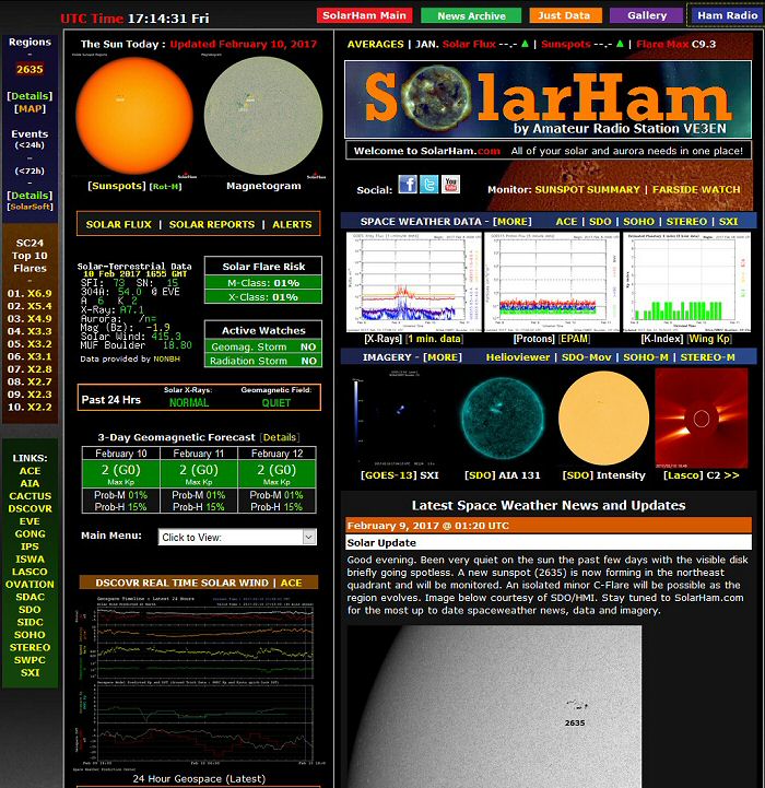
Source: www.hamqsl.com
Also very interesting: Aurora Polar Cap Display
and Radio Propagation : Space Weather : Sunspot Cycle Information
See the figure below:
R a d i o B l a c k o u t I n d i c a t o r – Source: www.sunspotwatch.com and www.swpc.noaa.gov

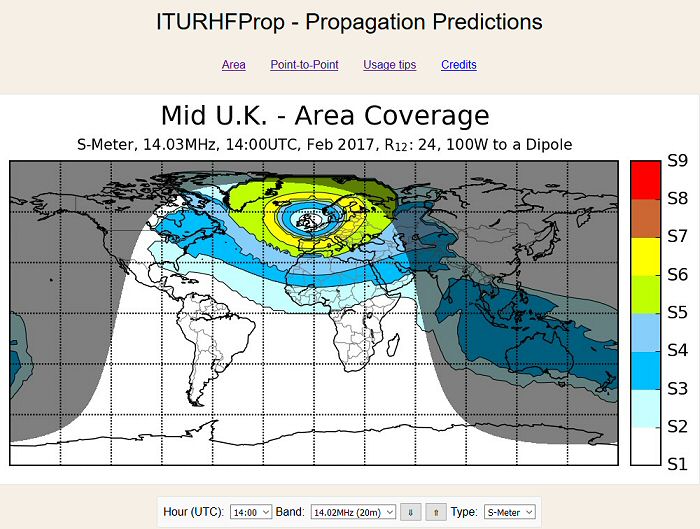
HF Propagation, map center America
Near-Real-Time MUF Map, for more info and explanation see: www.spacew.com

The area within the green bands is known as the auroral zone.
Radio signals passing through these auroral zones will experience increased signal degradation
in the form of fading, multipathing and absorption.
Source: www.spacew.com
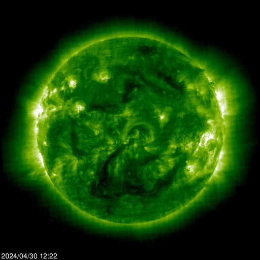
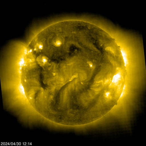
| EIT 171 | EIT 195 | EIT 284 | EIT 304 |
 |
 |
 |
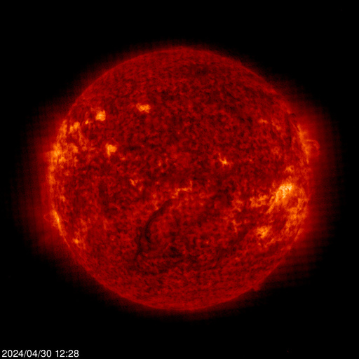 |
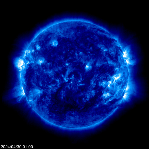
 Source: SOHO Solar and Heliospheric Observatory |
|||
Space Weather TV
Know when to expect disruptions in amateur radio traffic services based on GPS.
Get your weekly Space Weather forecast from a physicist who works for NASA, NOAA, and other government agencies.
Click here: This Week’s forecast by: DR. Tamitha Slov.
Reception of the IARU/NCDXF International Beacon Project beacons.
Location: Best, North Brabant, Netherlands.
QRA Locator: JO21QL – Latitude: 51° 29′ 32″ N, Longitude: 5° 22′ 41″ E

Sources:
www.spacew.com
Australian Space Weather Agency
www.hamqsl.com
www.sunspotwatch.com
SOHO Solar and Heliospheric Observatory
Computer Club Medical Systems – Beacon Monitor Station PA3EWG
VHF / UHF Propagation
VHF Propagation Map:
This map shows actual radio propagation from stations operated near 144 MHz.
It uses data gathered by Automatic Packet Reporting System-Internet Service (APRS-IS) from packet stations in the amateur radio service.
Go to: VHF Propagation Map
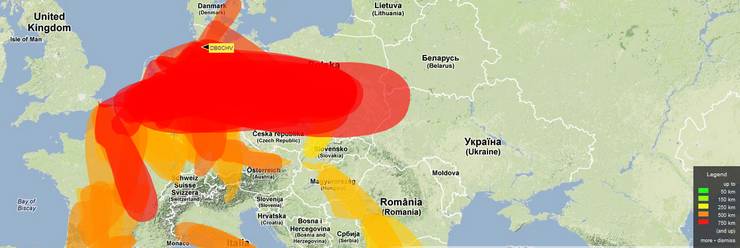
Source picture: VHF Propagation Map website.
Tropospheric Ducting Forecasts:
The areas noted in the forecast have the necessary atmospheric conditions to produce tropospheric bending of VHF, UHF and/or microwave radio waves. Tropospheric bending extends the range of radio & TV stations well beyond their normal limit and thus increases interference amongst stations as well.
Go to: Tropospheric Ducting Forecasts
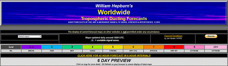
Source picture: Tropospheric Ducting Forecasts website.